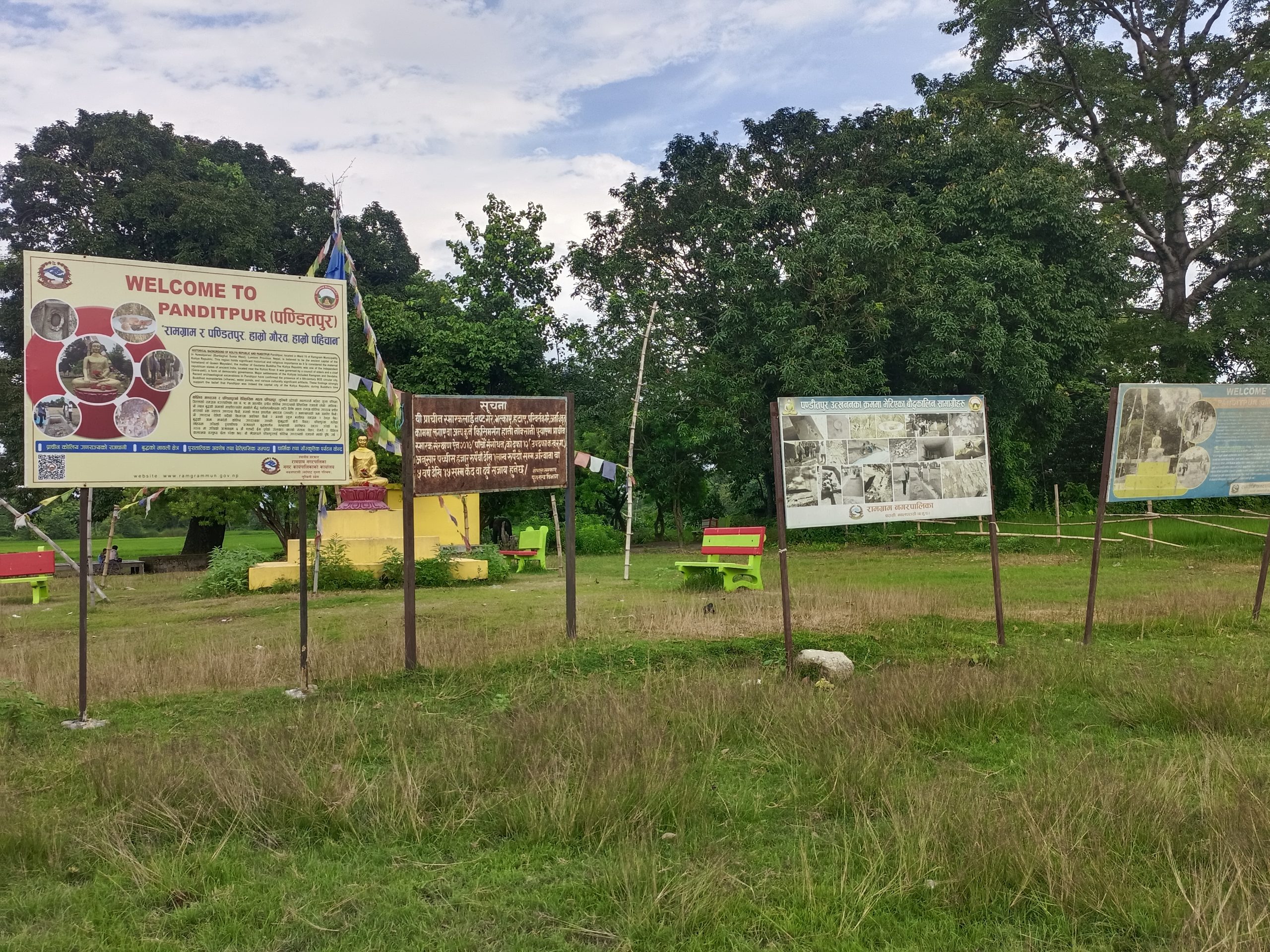
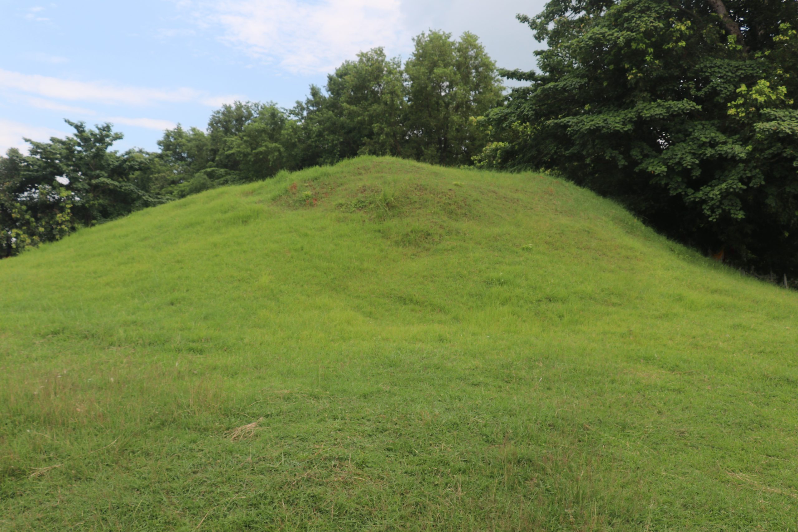
Panditpur is an expansive archaeological settlement site located in Nawalparasi District. Identified as an ancient fortified city and manufacturing center of the first millennium BCE, it is widely investigated by scholars as a viable candidate for the ancient administrative center or capital city (Vyaghrapura or Ramagrama town) of the ancient Koliya republic.
Location and Accessibility
Located between the Jharahi and Dhanewa rivers in Ramgram Municipality, Nawalparasi (West) District, Panditpur lies roughly 3 km northwest of Parasi and about 8 km northwest of the Ramagrama Stupa by local roads.
Visitors starting from Parasi can reach the site by driving approximately 3 km northwest along local paved and gravel link roads. Those traveling from the Ramagrama Stupa can head north through Parasi town and then continue northwest along rural roads for a total distance of around 8 km.
It lies northwest of Parasi. When driving south from Sunwal down the Sunwal–Parasi Road, the site lies off to the southwest of that road, but northwest of Parasi town center.
Historical Background and Significance
The Koliya republic was the maternal lineage realm of Siddhartha Gautama and the closest neighbor to the Shakyas of Kapilavastu. While the Ramagrama Stupa represents the religious funerary monument of the Koliyas, their urban political center remained an archaeological mystery for centuries.
Excavations conducted by the Department of Archaeology between 2001 and 2014 revealed that Panditpur covers a large area of ancient habitational mounds. Structural discoveries include fortified brick foundations, defensive ditches, residential drainage canals, and multi-roomed dwellings. Stratigraphic analysis yielded Painted Grey Ware (PGW), Northern Black Polished Ware (NBPW), and black-and-red pottery, pushing the initial habitation date to the early firstCentury BCE. Discoveries of punch-marked silver coins, Kushan copper coinage, sealings, terracotta figurines, glass beads, and iron smelting hearths confirm that it was an active economic hub. While several Nepali archaeologists argue that Panditpur represents the ancient capital city of the Koliyas, scholars note that explicit epigraphic evidence identifying its ancient name has not yet been discovered, maintaining it as an important, debated identification.
Major Attractions of the Site
Visitors to the site can explore extensive earthen mounds concealing ancient settlement structures, along with consolidated excavation trenches displaying early brick walls, defensive ramparts, and drainage channels. Specific areas mark where terracotta beads, kilns, and metallurgical slag were discovered, all framed by the natural river terraces of the Jharahi and Dhanewa rivers that highlight the early use of watercourses for defense, craft, and trade.
परिचय
पण्डितपुर नवलपरासी जिल्लामा अवस्थित एक विस्तृत पुरातात्त्विक आवासीय बस्ती स्थल हो। इस्वी संवत् पूर्व प्रथम सहस्राब्दीको एक प्राचीन किल्लाबन्दीयुक्त सहर तथा उत्पादन केन्द्रका रूपमा पहिचान गरिएको यस स्थललाई विद्वानहरूद्वारा प्राचीन कोलिय गणराज्यको प्रशासनिक केन्द्र वा राजधानी व्याघ्रपुर वा रामग्राम नगरको एक सम्भावित प्रमुख स्थलका रूपमा व्यापक अनुसन्धान गरिँदै आएको छ।
अवस्थिति तथा पहुँच
नवलपरासी (पश्चिम) जिल्लाको रामग्राम नगरपालिकास्थित झरही र धनेवा नदीको बीचमा अवस्थित पण्डितपुर, परासीबाट करिब ३ किलोमिटर उत्तर-पश्चिम तथा स्थानीय सडक हुँदै रामग्राम स्तूपबाट करिब ८ किलोमिटर उत्तर-पश्चिममा पर्दछ। परासीबाट यात्रा सुरु गर्ने आगन्तुकहरू स्थानीय पक्की तथा ग्राभेल सम्पर्क सडक हुँदै करिब ३ किलोमिटर उत्तर-पश्चिम सवारी चलाएर यहाँ पुग्न सक्छन्। रामग्राम स्तूपबाट आउने यात्रुहरू परासी बजार हुँदै उत्तरतर्फ लागेर ग्रामीण सडकमार्फत उत्तर-पश्चिम अघि बढ्दै कुल करिब ८ किलोमिटर दूरी तय गरी पुग्न सक्छन्। यो परासीको उत्तर-पश्चिममा पर्दछ। सुनवलबाट सुनवल–परासी सडक हुँदै दक्षिणतर्फ सवारी चलाउँदा, यो स्थल सो सडकको दक्षिण-पश्चिममा तथा परासी बजार केन्द्रको उत्तर-पश्चिममा अवस्थित छ।
ऐतिहासिक पृष्ठभूमि तथा महत्त्व
कोलिय गणराज्य सिद्धार्थ गौतमको मावली कुलको राज्य तथा कपिलवस्तुका शाक्यहरूको सबैभन्दा नजिकको छिमेकी राज्य थियो। रामग्राम स्तूपले कोलियहरूको धार्मिक अन्त्येष्टि स्मारकको प्रतिनिधित्व गरे तापनि, तिनीहरूको सहरी राजनीतिक केन्द्र भने शताब्दीयौँसम्म पुरातात्त्विक रहस्यकै रूपमा रहेको थियो।
पुरातत्त्व विभागद्वारा सन् २००१ देखि २०१४ को बीचमा गरिएका उत्खननहरूले पण्डितपुरले प्राचीन आवासीय ढिस्काहरूको एक विशाल भूभाग ओगटेको तथ्य उजागर गरेका छन्। संरचनात्मक उपलब्धिहरूमा किल्लाबन्दीयुक्त इँटाका जगहरू, रक्षात्मक दुर्गहरू, आवासीय ढल निकासका नालाहरू, र बहु-कोठे घरहरू पर्दछन्। स्तरीकरण विश्लेषणले चित्रित खैरो भाँडा (PGW), उत्तरी कालो चम्किलो भाँडा (NBPW), र कालो-रातो माटोका भाँडाहरू फेला पारेको छ, जसले यहाँको प्रारम्भिक मानव बस्तीलाई इस्वी संवत् पूर्व प्रथम सताब्दीको सुरुवाती चरणसम्म पुर्याउँछ। पञ्चमार्क चाँदीका सिक्का, कुषाणकालीन तामाका सिक्का, छापहरू, टेराकोटाका मूर्तिहरू, काँचका मणिकाहरू, र फलाम गाल्ने भट्टीहरूको प्राप्तिले यो एक सक्रिय आर्थिक केन्द्र थियो भन्ने तथ्य पुष्टि गर्दछ। यद्यपि धेरै नेपाली पुरातत्त्वविद्हरू पण्डितपुरले नै कोलियहरूको प्राचीन राजधानीको प्रतिनिधित्व गर्दछ भनी तर्क गर्छन्, तर विद्वानहरूका अनुसार यसको प्राचीन नाम नै किटान गर्ने प्रत्यक्ष अभिलेखीय प्रमाण हालसम्म फेला नपरेकाले यो अझै पनि एक महत्त्वपूर्ण तर बहसमा रहेको पहिचानका रूपमा रहेको छ।
यस स्थलका प्रमुख आकर्षणहरू
यस स्थलका आगन्तुकहरूले प्राचीन बस्तीका संरचनाहरू लुकेका विस्तृत माटाका ढिस्काहरूका साथै प्रारम्भिक इँटाका पर्खालहरू, रक्षात्मक प्राचीरहरू र ढल निकासका नालाहरू प्रदर्शन गर्ने संरक्षित उत्खनन खन्तीहरू अवलोकन गर्न सक्छन्। टेराकोटाका मणिका, भट्टीहरू, र धातु गाल्ने किटका अवशेषहरू भेटिएका विशिष्ट क्षेत्रहरू यहाँ चिह्नित गरिएका छन्, जुन सबै झरही र धनेवा नदीका प्राकृतिक किनारहरूद्वारा घेरिएका छन्, जसले रक्षा, शिल्प र व्यापारका लागि जलमार्गको प्रारम्भिक प्रयोगलाई उजागर गर्दछ।